Harvard Hero Moment #8: Dude, where’s my car? The advent of GPS
Mary Paslawski
15 Oct 2019
As a child, I spent countless hours in the back of the car roadtripping across the US to visit family.
Bored out of my mind, faced with the prospect of another eight hours until we reached grandma’s house, I took it upon myself to perform the very important task of directing the journey from a huge A – Z map, confidently telling my father to take a right or left.
In hindsight, I’m pretty sure my dad wasn’t letting his course of direction be picked by a seven-year-old. But it didn’t matter. I was a Navigator.
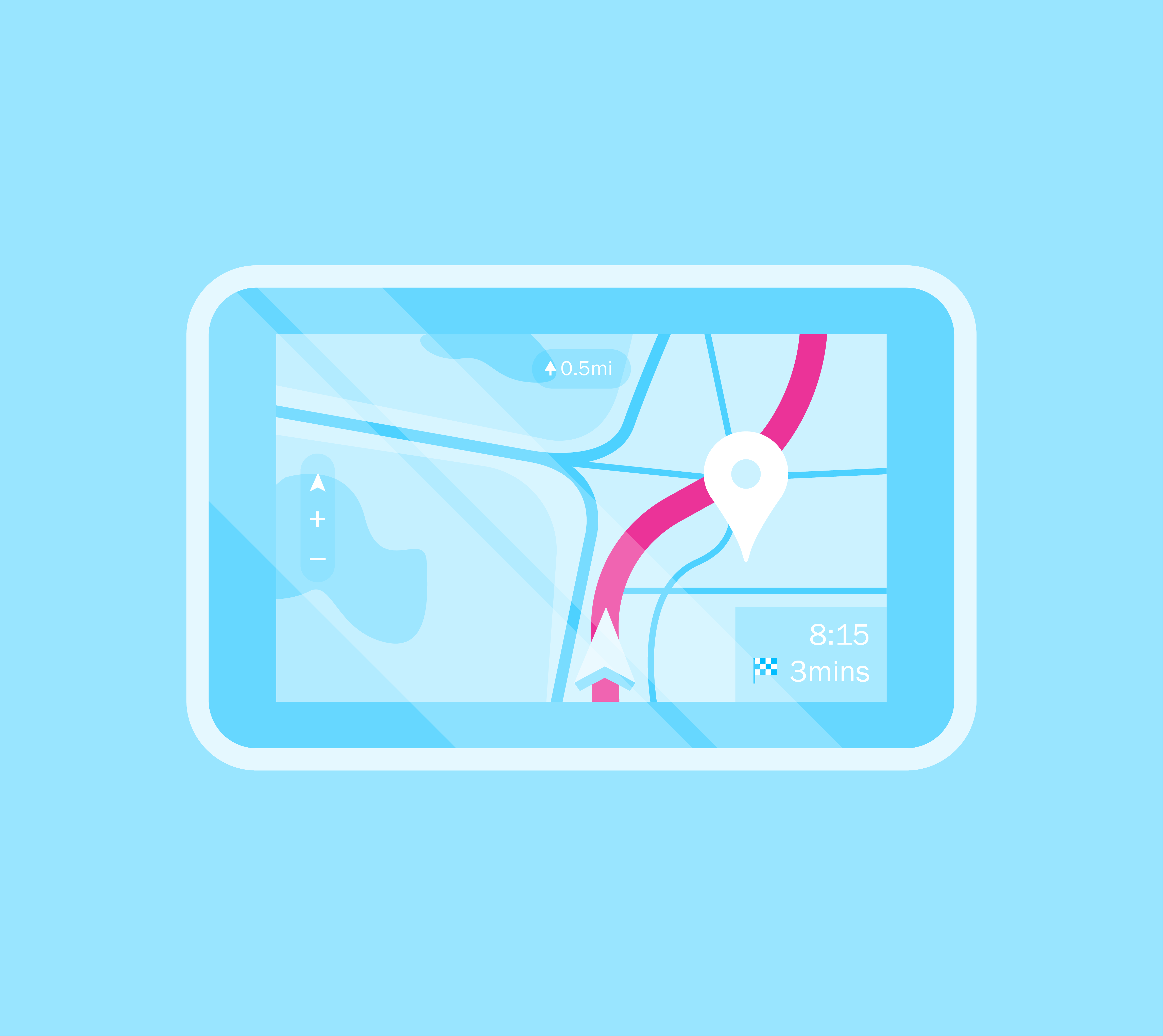
Fast forward ten years, I started driving and wanted nothing to do with that old paper map. I wanted someone – or something – to tell me where to go as I also realised around that time that I have a terrible sense of direction. Enter my tech hero moment – the invention of in-car GPS.
The “Electro Gyro-Cator”
In 1981, the first true automotive navigation was developed by Honda, Alpine and Stanley Electric.
Interestingly named “the Electro Gyro-Cator”, it was based on the navigation systems used by fighter pilots in the Cold War, which may make it seem cooler than it really was. You still needed to know where exactly you were when you started and the direction you were headed in.
As I haven’t used a compass since my scout days, I’m glad we’ve progressed since then. The monochrome colour Garmin Quest was my life saver as I lurched around corners in my mother’s minivan, endlessly shouting “recalculating” at me as I tried to find my way to one friend’s house or another’s.
It was the height of GPS technology at the time, and I was forever grateful for it, but it seems quaint in comparison to the GPS of today.
Speed camera alerts and restaurant locators
The technology has advanced by leaps and bounds over the last 15 years, with many drivers relying heavily on smartphones to tell them which street to skip due to traffic and where speed cameras are lying in wait for you.
Now, it’s not about how you get from A to B – but about how fast you do it.
Google Maps and Waze are arguably the most popular current navigation tools. A win-win for the owner of both (Google), drivers can choose whether to take advantage of Waze’s live traffic reports and parking notifications or go for the all-round features of Google Maps to find nearby restaurants and gas stations along their route – a choice that I could only have dreamed of when I started driving.
We still haven’t perfected it – the time Google Maps led me down a disused Scottish farm track to come face to face with a bull can attest to that – but we’ve come a long way since print outs from MapQuest were at the height of consumer navigation technology.
Now, I can’t wait to see what driverless cars throws into this mix…